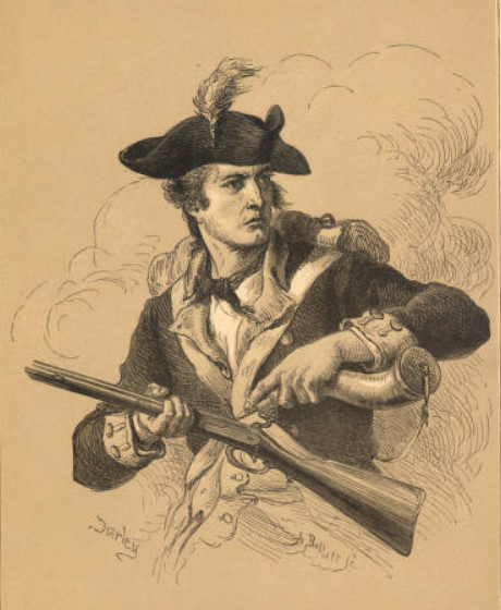
The Ohio Archaeological Council (OAC) will hold its annual Spring Meeting on Friday, May 18, 2007 at the Cedar Ridge Lodge, Battelle Darby Creek Metro Park, Galloway, Ohio (for directions see www.metroparks.net/ParksBattelleDarbyCreek.aspx). At the session several papers will be presented including a session highlighting recent archaeological investigations on Ohio Historical Society sites. It is an opportunity to hear some very good professional presentations in a somewhat relaxed setting. There is no charge for admission. See below for a meeting schedule and a selection of abstracts for what should be some very interesting presentations on current archaeological research in Ohio.
Meeting Schedule
9:30-10:00 Refreshments
Solicited Paper:
10:00-10:20 Bruce Aument – Variations in Late Woodland Upland Sites of Central Ohio
Ohio Historical Society (OHS) Archaeological Research:
10:20-10:40 Martha Otto – OHS Archaeology in the Twenty-first Century
10:40-11:00 Bill Pickard – Recent Investigations at Pickawillany, Miami County, Ohio: Making Sense of the First Thing to Happen in Ohio
11:00-12:10 OAC Business Meeting
12:10-1:15 Lunch (on your own)
Ohio Historical Society (OHS) Archaeological Research (continued):
1:15-1:35 Jarrod Burks – Geophysics at Fort Ancient
1:35-1:55 Bob Riordan The Moorehead Circle at Fort Ancient
1:55-2:15 Linda Pansing – Fort Laurens Musketball Concentration: Evidence of a Fight or Fiasco?
2:15-2:35 Bill Pickard – The Occurrence of a War of 1812 Double Horse Burial at Ft. Meigs, Wood County, Ohio
2:35-2:55 Mike Striker Recent Archaeological Investigations at the Rankin House
2:55-3:15 Q&A
3:15 Meeting Adjourned
Selected Abstracts
Glimpses of Late Woodland Activities
in the Uplands of Central Ohio
Bruce W. Aument, Ph.D
Away from the main tributary valleys of the Scioto drainage, dense multicomponent lithic scatters commonly occur along upland creek bluff/terrace edges. Usually interpreted as lithic workshops, some of these sites contain features datable to the early and late Late Woodland periods, which suggest activities other than lithic tool production. CRM investigative results from three sites: 33LO86 (Spring Site A) along Otter Creek a tributary of Mill Creek and eventually the Scioto River, 33FR883 (Trueman Site 1) along Hayden Run a tributary of the upper Scioto River, and 33FR2600, along York Run a tributary of the Olentangy River, document Late Woodland site variability. Even though the sites are from upland creek bluff/terrace edges, each lies within a particular and different local setting. Since multicomponency partially masks the Late Woodland components, documenting specific activities related to this time period at each site replaces definitive functional site type interpretations.
Recent Investigations at Pickawillany, Miami County, Ohio
or
Making Sense of the First Thing to Happen in Ohio
William Pickard
Ohio Historical Society
Between 1748 and 1752 Pickawillany was a thriving English trade center and Miami Indian village in the heart of the French held Ohio country. In many ways its existence there epitomized the nearly century long war for empire between France and England in North America. The French sacked Pickawillany in 1752 to drive English interests from the Ohio country. The site lay relatively undeveloped for more than two centuries until incorporated into the Piqua Historical Area State Memorial in 1999. Recent fieldwork combining metal detection and other forms of remote sensing has begun to bring a degree of order to the site and delineate possible activity areas of particular interest.
Fort Ancients Moorehead Circle
Robert Riordan
Wright State University
Remote sensing by Jarrod Burks in 2005, conducted in Fort Ancients North Fort, detected a large and previously unknown circular feature. Groundtruthing excavations were conducted there in the summer of 2006 by Wright States Field School in Archaeology. Results suggest that the feature, since dubbed the Moorehead Circle, was constituted by more than 200 posts set vertically in the ground in slip trenches and a secondary circle of smaller posts located a few meters toward the interior. The strong magnetic response at the Circles center is caused by a pit filled with burned soil, possibly set within a structure. These features, which have been radiocarbon-dated to the Middle Woodland period, and the artifacts recovered from our two excavation units will be reviewed. Work will resume at the site in the summer of 2007.
Fort Laurens Musket Ball Concentration:
Evidence of a Fight or Fiasco?
Linda Pansing
Ohio Historical Society
In 2004, Ohio Historical Society archaeologists conducted an excavation of a musket ball concentration at Fort Laurens State Memorial, Ohios only Revolutionary War period fort. The concentration was located during a 1999-2000 survey of the Memorial property conducted by the Center for Historic and Military Archaeology (CHMA), Heidelberg University, Tiffin, Ohio. The purpose of the OHS project was to discover the nature of the musket ball concentration and possibly determine if it was the result of the February 23, 1779 ambush, a March 23, 1779 pack animal stampede or some other event in the forts short history.
The Occurrence of a War of 1812 Double Horse Burial,
Ft. Meigs, Wood County, Ohio
William Pickard
Ohio Historical Society
Between 2001 and 2003, a total renovation of Fort Meigs State Memorial that included the construction of a new visitor center/museum was undertaken by the Ohio Historical Society. Fort Meigs is a 10 acre War of 1812 stronghold situated on a high bluff facing the Maumee River just outside the city of Perrysburg in Wood County, Ohio. While monitoring of construction work during the most recent renovation a number of interesting features were located including what may be a unique double interment of horses more than likely causalities of one of the brutal sieges of Fort Meigs in the spring and summer of 1813. Positioning of the remains as well as a number of other factors would seem to indicate there was more to the horse burial other than the simple, expedient disposal of fallen animals.
Geophysics at Fort Ancient
Jarrod Burks
Ohio Valley Archaeology, Inc.Geophysics is transforming the way we do archaeology in Ohio, as well as the kinds of things we find. In 2005 and 2006 I conducted geophysical surveys (magnetics and electrical resistance) for the Ohio Historical Society at Fort Ancient in a variety of small and large areas in the South, Middle, and North Forts in advance of some erosion control work to take place near the walls. The geophysical surveys were to help identify any unknown features that could be impacted by heavy equipment moving from the park roads back to the embankment walls. Potentially significant archaeological remains were found in all areas surveyed. However, the most dramatic results include finding a new enclosure in the North Fort (dubbed the Moorehead Circle by Riordan) and clarifying the outlines of small, previously documented enclosures in the Middle Fort. Despite 100+ years of archaeology at Fort Ancient, these geophysical surveys show that there is much left to learn about Ohios largest hilltop enclosure