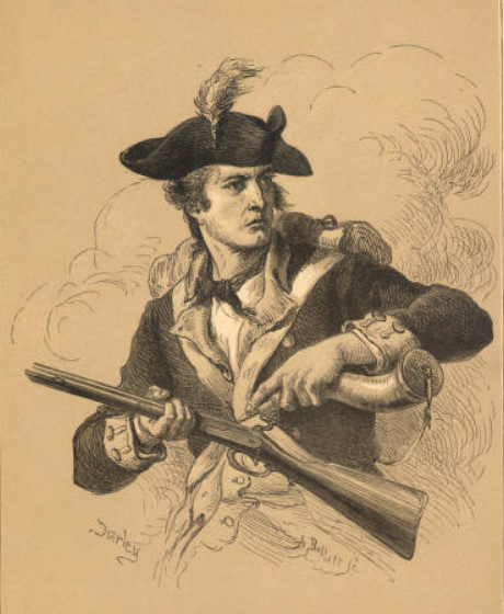
Listen, Watch and Connect with LGBTQ+ History
Newly digitized audio and video recordings illuminate the history of HIV/AIDS in Ohio and impacts on the LGBTQ+ community.
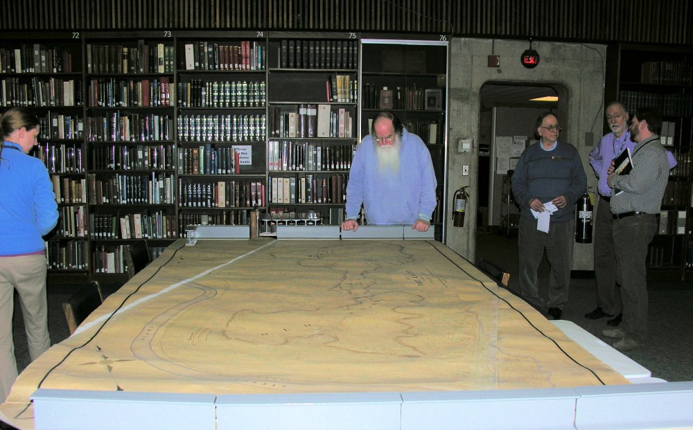 Archaeology and archives library staff viewed a wonderful site on Thursday; an original 1908 map of Fort Ancient. Its story begins in March of 1908 when curator of archaeology William C. Mills asked the Ohio Archaeological and Historical Society Board for funds to do a “correct survey” of Fort Ancient. They agreed and gave him a budget of $120.00 to fund the work which was conducted by the Civil Engineering Department of The Ohio State University.
The map was later published in Mill’s 1914 “Archaeological Atlas of Ohio”. The map measures approximately 12 feet long and 6 feet wide, is colorized and shows mounds, ditches, buildings, fence rows, trees and other notable features in and surrounding the earthwork. The scale was so large that several sheets of paper had to be joined together to accommodate it. You can clearly see the white diagonal seams in the upper left and lower right of the picture. The archives at the Ohio Historical Society has many such gems within its collections and we encourage you to explore Ohio’s past!