As an archaeologist serving with AmeriCorps, one of my key projects has been inventory completion. A component to most AmeriCorps members is outreach projects with institutions and organizations outside of your host institution. As an alumnus of the University of Akron (UA), I decided to reach out to former professors in the Department of Anthropology inquiring about any projects with which they needed assistance. In coordination with Brent Eberhard, archaeology data and inventory manager at the Ohio Historic Preservation Office, and Linda Pansing, assistant curator at the Ohio History Connection, I began work on a project at the University of Akron to document archaeological sites that had been previously surveyed excavated, or field checked by University staff and faculty, but never submitted to the Ohio Archaeological Inventory (OAI). Linda Whitman, research associate and former professor in the Department of Anthropology, was immensely helpful as well during this project, both in her guidance and firsthand experience with the projects and collections. The OAI project, as I called it, resulted in the addition of 43 newly discovered, but historically reported, archaeological sites to the OAI. Figure 1 is of Mills (1914) map with previously documented and newly added prehistoric sites. The trails include the portage path, the Cuyahoga/Scioto War trail, the Sand Run/Rabbit trail, and the Muskingum trail (Haag 2006; Wilcox 1970).
The OAI form is a ten page form containing a plethora of information about a specific archaeological site beginning with coordinate location and covers narrative descriptions of artifact patterning. The OAI is managed by the Ohio Historic Preservation Office (OHPO) in Columbus, Ohio. Two sections of the OAI require narrative descriptions of the site, such as the relative distribution of artifacts, and the relationship of the site to other archaeological sites in the region. Describing the site in relation to other similar sites in the area often required additional research. I conducted basic background research of the known archaeological sites within approximately one mile to each site. While conducting background research, I observed other archaeological sites not yet reported in the OAI including, in part, the OAI forms I was completing for past University of Akron (UA) projects. Many of the backlogged UA sites were a mix of surveys never formally published or submitted to the OHPO, dating as early as the late 1970s up to the present.
The first part of the OAI project was reviewing and submitting paper OAI forms previously completed by UA faculty and students but which had not been sent to the OHPO. Some of these OAI forms were started by students at UA as part of various class projects in Ohio Archaeology. Robert D. Haag’s (2006) publication on Copley Township had been previously examined for by UA students Ryan Crano and Joshua Murphy in the hopes of added sites reported by Haag to the OAI. As part of their undergraduate research, they began preparing OAI paper forms for sites described in Haag (2006), as reported to him by local collectors. Some of the site reporting came from historic documents such as newspaper articles and county histories. The amount of information Haag (2006) was able to acquire from newspapers left me wondering whether there was more data to be found. Were there more sites to be found in non-traditional historical sources such as newspapers? Newspapers are generally not checked by professional archaeologists during background research, and therefore are here considered “non-traditional” historical sources.
As I began to think about this question, I thought of different potential sources of information on the reporting of archaeological sites. The methods of research utilized were purely exploratory, since I was unfamiliar with any similar methodology of searching for archaeological resources using newspapers.
My methodology was generally broken into two stages: identification and provenience. First, I needed to be able to search online and physical databases for potential archaeological sites, and then I needed to be able to locate the site based on written descriptions. In order to identify archaeological sites in historical sources, I began using what I had thought were the most useful search terms such as Indian, relic, mound, ancient, and archaeology. I found that Indian relic got the most hits when searching historical sources. According to the Akron Beacon Journal index compiled by the WPA in 1941, the term archaeology was not even in use in the Akron newspaper until after 1896.
After sites were identified, I then needed to figure out where the site was located. In many cases, historical sources used historical landmarks as locational descriptions, such as streets, parks, or homes. The difficulty in historical landmarks is that they can change over time. However, historical tax records can tell the history of a landowner at the time of the historical account. Additionally, historic atlases list street and road names and the names of different property owners. For example, the Miller Mound site, 33 SU 643, was described in the Beacon Journal, May 21, 1902 at the corner of Park and Glendale. There is no Park Avenue connected to Glendale today, but there was in the 1891 Summit County atlas (Akron Map and Atlas).
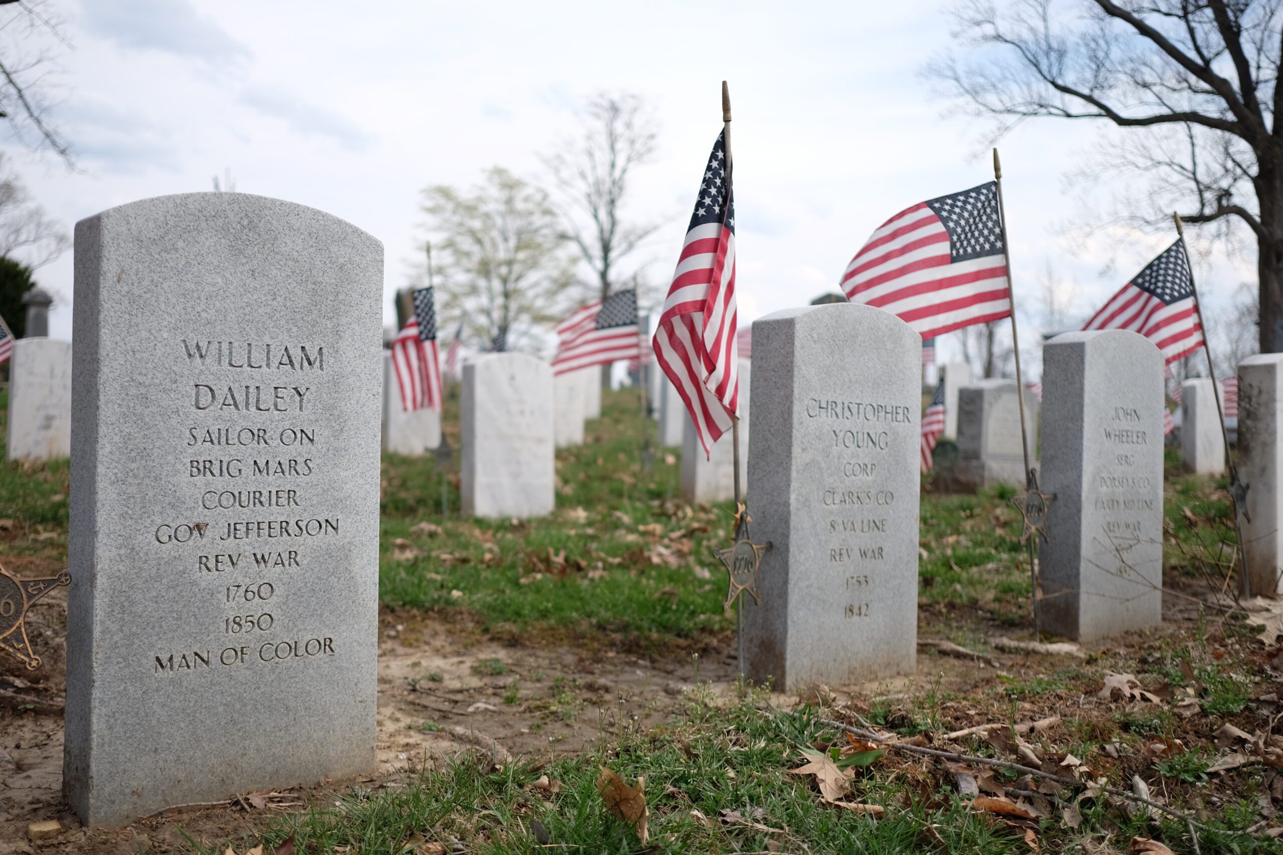
At least one site was located using the accession records at the Ohio History Connection (Figure 2). The Charles W. Frank collection (A0321), site 33 SU 658, was provenienced, or located, to the Frank farm using historic atlas maps. Unfortunately, in most cases these historical records are all that remains of these archaeological sites. Many of them were destroyed by urban development over the decades, and the artifacts were lost to construction crews and local collecting.
There are many interesting sites that no longer exist in the Akron area, but give a new appreciation for the prehistoric past in such an important transportation route, the portage path. There are interesting caves and rock shelters now buried beneath human made ponds and modern day road construction. The road wolf ledges was named after the Wolf Ledge Rock Shelter, 33 SU 656, and the Mystery Cave, 33 SU 644 captivated news readers for days as more artifacts were discovered by stone quarry crews on the future grounds of Stan Hywet.
For further reading on the project and the research methods used, see Olson’s (2017) current research in the Ohio Archaeological Council.
References:
Akron Map and Atlas Company
1891 Illustrated Summit County, Ohio, representing her manufacturing interests, commercial houses, public institutions, farms, homes and people, with history, statistics, and general information. Maps of the United States, Ohio, Summit County Townships, Towns, Villages and City of Akron. Akron Map and Atlas Company, Akron, Ohio.
Haag, Robert D.
2006 Footpaths to Ancient Campsites in Copley Township, Ohio. Block Printing Company: Akron.
Mills, William C.
1914 Archaeological Atlas of Ohio. Ohio State Archaeological and Historical society. Fred J. Heer, Columbus.
Olson, Eric C.
2017 No Shovel Required: An Archaeological Inventory of Greater Akron, Ohio. Current Research in Ohio Archaeology 2017 www.ohioarchaeology.org, accessed June 8, 2017.
Wilcox, Frank
1970 Ohio Indian Trails: A Pictorial Survey of the Indian Trails of Ohio. The Kent State University Press, Kent, Ohio.