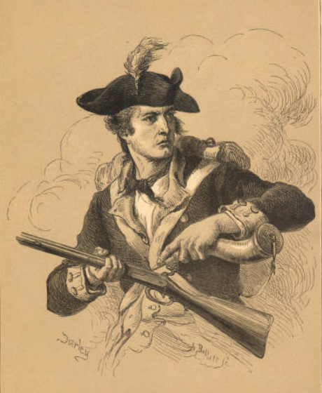
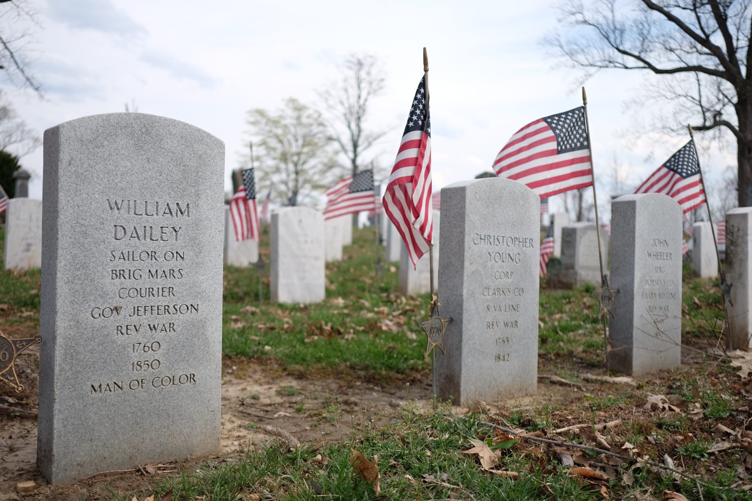
In doing research on the events possibly surrounding the double horse burial at Fort Meigs, something that has struck me was the degree of literacy that developed in the American ranks in the generation between the Revolutionary War and the War of 1812. Two accounts of the siege of Ft Meigs and other contemporary events that stand out are those of Alfred Lorrain, a private in the Petersburg (Virginia) Volunteers and Colonel Alexander Bourne of the Ohio Militia. Both seemed imbued with an almost superhuman sense of duty and if a description of a pitched battle can be looked upon as eloquent it would be Lorrains description of Millers Charge against a gun battery on the American right on May 5, 1813. However there is an additional account in Bournes war writings that also comes to mind that has little to do with the war directly but exemplifies his masterful ability to report events. To note, Bourne was born in Massachusetts in 1786 and at the age of 26 began his move west ending up in Ohio. He served with distinction in the military, quickly advancing from private to colonel. He later served as Canal Commissioner for Governor McArthur where he surveyed and laid out most of Ohios canals built during the canal building era. In 1816 he was commissioned by the US Government to site a town on the Maumee near Lake Erie, a town now named Perrysburg. Bourne proved to be an talented cartographer. Among his earlier works was a detailed map of Fort Meigs, measured without the aid of instruments by triangulation, pacing out the major distances and estimating the angles and all done in secret fearing that his efforts would be seen as the work of a spy. His map making eventually came to the attention of his superiors and after the first British siege had ended in May of 1813 was allowed to continue his work to include the grounds and river adjacent to the fort and the positions of the British batteries. After the British burned Washington D.C. in 1814 it was supposed at that time that the Bourne map (now lost) was the only detailed map of Fort Meigs still in existence. However, maps by Captain Daniel Cushing and Lieutenant Joseph Larwill, both of the Second Regiment of the U.S. Artillery and the highly detailed albeit somewhat complicated rendering of Fort Meigs and environs by Captain William Sebree of the Kentucky Militia have since come to light. Although Bournes map itself was misplaced and lost to time it certainly would have been interesting to see how it compared to the others. In 1820 then canal commissioner Bourne, and John Kilbourne collaborated to produce a strikingly detailed map of the State of Ohio showing the states then 70 counties as well as major roads and topographical features. It was this same map that accompanied Caleb Atwaters article Description of the Antiquities Discovered in the State of Ohio and Other Western States, published in 1820 in Archaeologia Americana, Transactions and Collections of the American Antiquarian Society, Volume I. Atwater, also a New Englander transplanted into Ohio, was a Renaissance man of sorts. He was an ordained minister, a lawyer, a postmaster, a naturalist, an ethnographer, and a politician; a proponent of mass transportation in the forms of the canal system and later the railroads and an educator who saw the benefits of a public education for both boys and girls. With all that he is perhaps best known for his overwhelming interest in the mounds and earthworks of the Scioto Valley and beyond. While he incorrectly attributed the ancient works to Hindus from India that arrived in North America by sea and were driven south into Mexico by the Indians, his was the first systematic study of the prehistory of North America, laying the groundwork for those notables who came later including Squier and Davis, Charles Whittlesey and Warren Moorehead. Quite an interesting fellow! Back at Fort Meigs and with the danger of a second British siege passed, Bourne found his general health in quick decline and was furloughed by General Clay to return to the settlements until his health was restored. Later in the summer he found himself at Chillicothe where he was hired by General Duncan McArthur to escort his wife and daughter to the Kentucky Blue Lick springs, a place known even then as a fashionable health resort. It was owned and maintained by a Major Finley, a hero of the Revolution although, according to Bourne, a rather superstitious fellow. As Mrs. McArthur complained of a tooth ache the Major told her he could cure it by charm and having rubbed her tooth with a red string he went into the woods to find a particular dogwood tree standing in a particular position around which he must tie the string. I laughed so much that the old lady wouldnt tell me whether the major had cured her tooth ache or not. About the upper of the two springs Bourne relates this: The spring was not embellished with a marble fountain and basin but rose through a hollow sycamore log called a gum about three feet in diameter set in the ground. It (the water) was clean and copious, mineralized with salt and sulphur and nauseous to the smell and taste. One morning a man whom we met there and living near the spring informed us that a Mrs. Rachford, a very large woman who was there just before we came, had lifted up her clothes and sat down in it, her big backside just filling up the gum and we had been drinking just after her. Oh snakes, toads and dung worms, the Upper Blue Lick was done over. You need not speak of it again in fifty years! The Major was almost raving mad it would drive all company away from the Lick! Mrs. McArthur let out in fine style as well. I laughed it off without any damage, found my health was perfectly restored and we set off immediately for the Lower Lick leaving the Major in a very uncertain condition”. 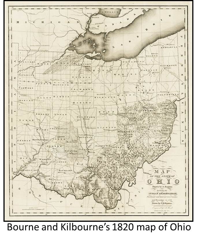 Thanks to Barry Lawrence Ruderman Antique Maps for the use of the Bourne map. See RareMaps.com